A Blank Outline Map of World is a simple and flexible tool for learning about the geography of our planet. Unlike a fully labeled map, a blank outline map leaves space for students to identify countries, continents, oceans, and other important geographic features themselves. This makes it especially useful for classroom exercises, homework, tests, and geography projects.
A world outline map can be used by students of different age groups because the level of information added to the map can be adjusted according to the lesson. Younger learners may use it to identify continents and oceans, while older students can label countries, capitals, major cities, and political boundaries.
Printable maps are also convenient for teachers and parents. A map can be printed on standard paper, placed in a notebook, used as a worksheet, or displayed as part of a classroom activity. Digital PNG and PDF versions provide additional flexibility for users who prefer working on a computer or printing a physical copy.
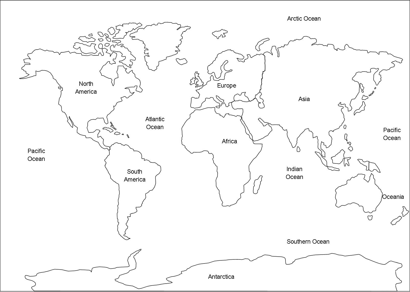
Outline Map of the World With Countries
An Outline Map of the World With Countries gives learners a clear view of the world’s national boundaries without filling the page with unnecessary details. It can be used as a reference map or as a labeling worksheet.
Download Images in PDF
Country outlines allow students to recognize the approximate shape and position of individual nations. This is particularly helpful when learning about neighboring countries and different parts of the world.
Practice Identifying Countries
Students can print a blank country map and attempt to write the names of countries from memory. After completing the exercise, they can compare their answers with a labeled map.
Another useful activity is to provide a list of countries and ask students to locate each one. This encourages them to pay attention to country shapes, borders, and surrounding geographic features.
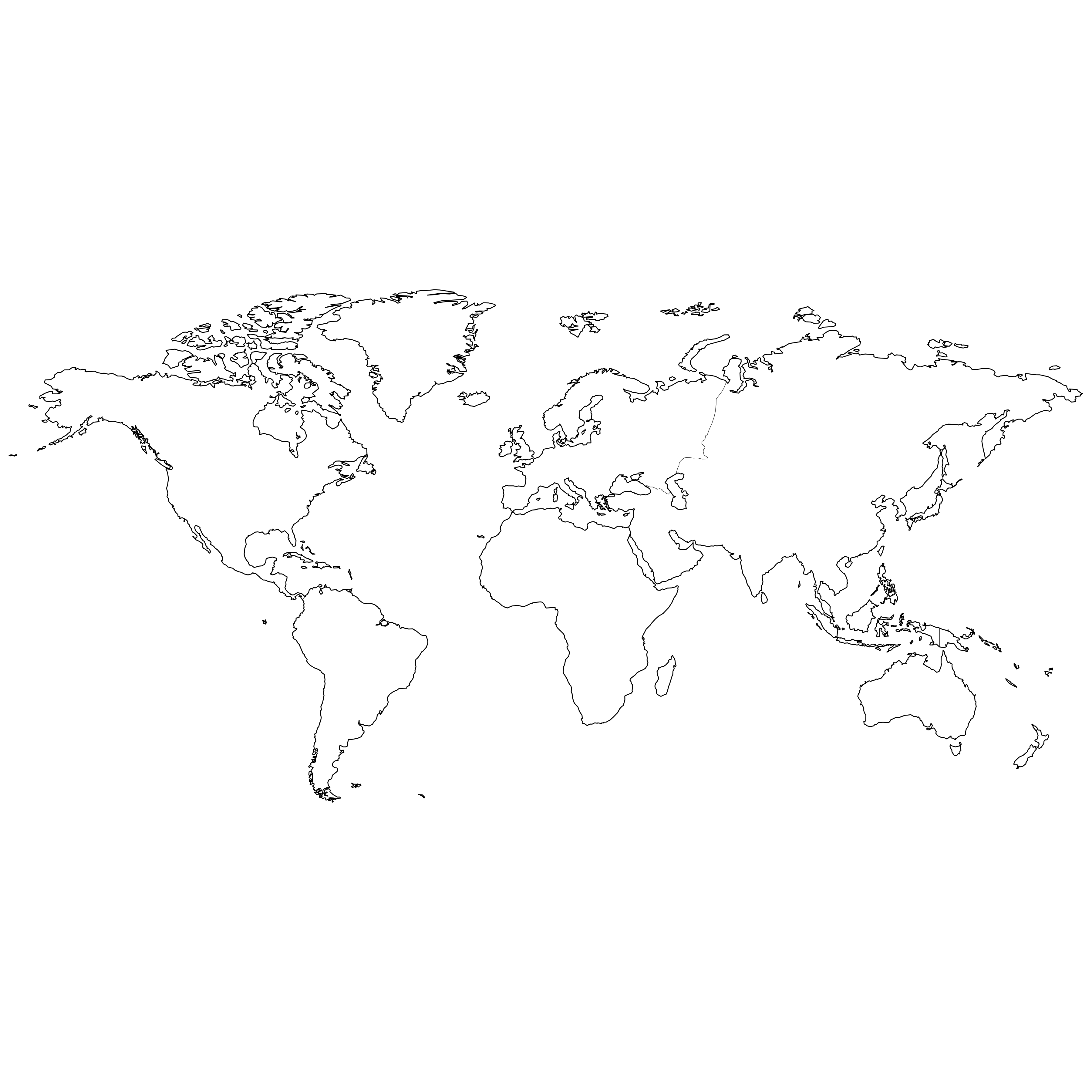
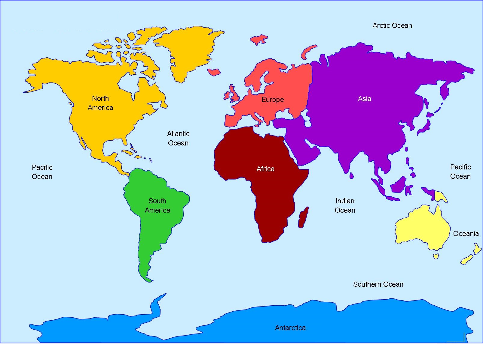
Outline Map of World With Continents
An Outline Map of World With Continents provides a broader view of the world’s major land areas. It is an excellent resource for introducing geography to children or reviewing basic continental geography.
Download Images in PDF
The seven commonly recognized continents are Asia, Africa, Europe, North America, South America, Australia/Oceania, and Antarctica.
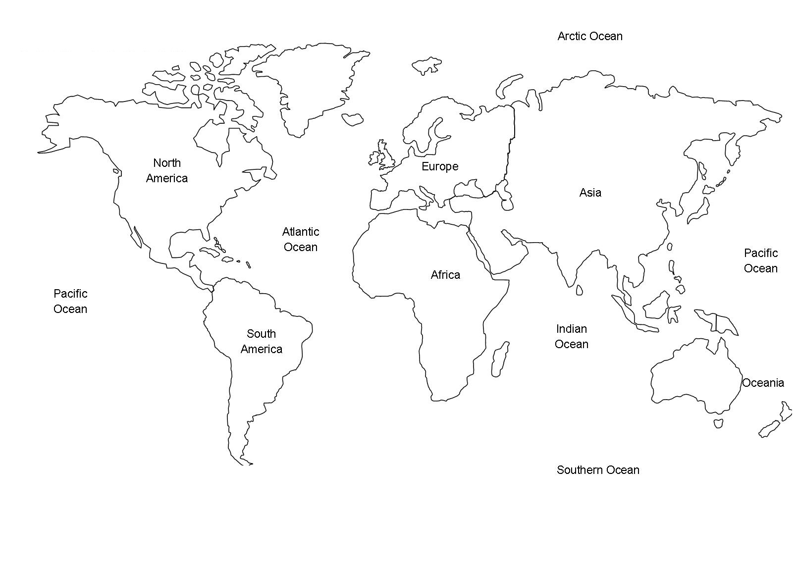
Outline Map of World PDF
An Outline Map of World PDF is a convenient option for anyone looking for a map that can be printed or shared digitally. PDF files are particularly useful for worksheets because the page layout is generally preserved when the document is printed.
Students can save a PDF map to their device and print additional copies whenever they need more practice.
Download Images in PDF
Why Choose a PDF Map?
A PDF world map can be used for many educational purposes. Teachers can include it in worksheets, while students can use it for assignments and projects.
The format is also convenient for storing maps digitally. Instead of keeping multiple paper copies, users can save the file and print it whenever required.
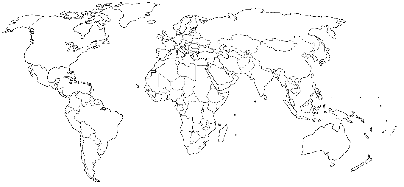
Outline Map of World Political
An Outline Map of World Political focuses on countries and their boundaries. Political maps differ from physical maps because their main purpose is to show human-defined divisions rather than natural features.
A political outline map can help students understand how countries are arranged across different continents.
Download Images in PDF
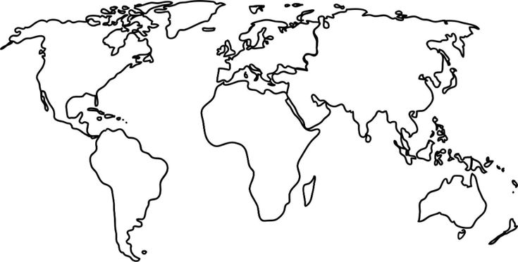
Outline Map of World Printable
A Printable Outline Map of World can be adapted for almost any geography lesson. Because the map is not crowded with labels, users can add only the information they need.
It can be printed in black and white, making it suitable for writing and coloring activities.
Download in PDF
Educational Uses of a Printable Map
A printable world outline map can be used for:
- Geography homework
- Country-labeling practice
- Continent identification
- Map quizzes
- School presentations
- Geography projects
- Coloring activities
- Learning oceans and seas
- Capital-city exercises
- Classroom displays
The same basic map can therefore support several different lessons.
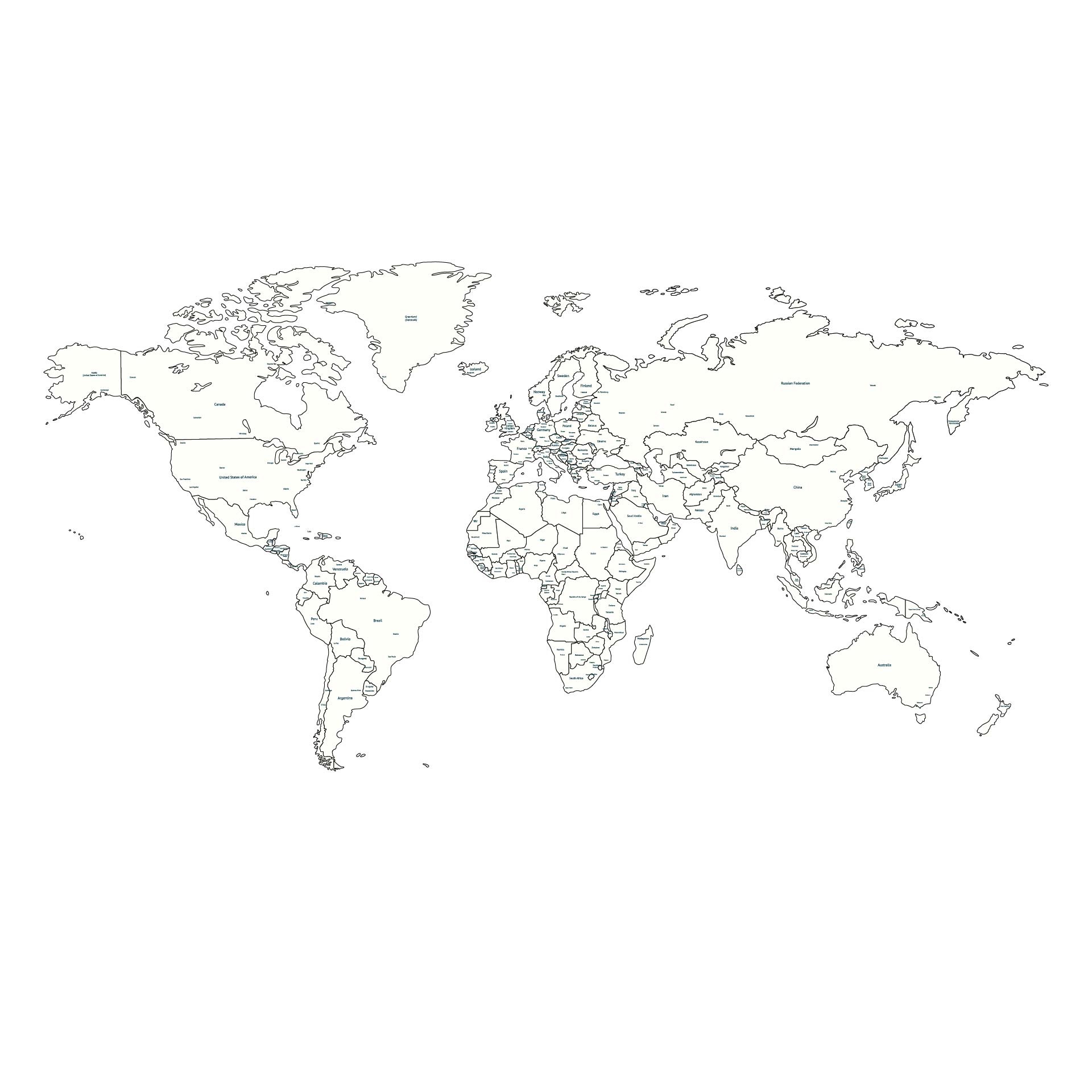
Printable Outline Map of World With Countries
A Printable Outline Map of World With Countries is particularly useful for students who need to practice political geography. Country borders provide visual clues, while the absence of names encourages active recall.
Teachers can create different worksheets using the same outline map. One worksheet might ask students to label countries, while another could ask them to mark capitals or major cities.
Download Images in PDF
Students can also use the map for self-testing. They can label as many countries as they remember and then use an atlas or labeled map to identify mistakes.
This method makes studying more interactive than simply reading country names from a list.
Outline Map of World With Names
An Outline Map of World With Names is useful when students need a labeled reference after working with a blank map. Country and continent names make it easier to understand geographic locations and compare different regions.
A named map can also help beginners become familiar with the spelling of countries and their positions.
Using both types of maps together can improve geography practice. Start by studying the labeled version and locating several countries. Then use the blank version to see how many locations can be remembered without assistance.
Download Images in PDF
This process can be repeated with continents, oceans, capitals, and major cities.
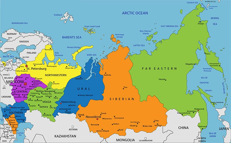
Outline Map of World
An Outline Map of World is a basic geographic template that can be customized according to the user’s needs. It may show the general shapes of continents, country boundaries, or both, depending on the map version.
Download Images in PDF
The simplicity of an outline map is one of its greatest advantages. It provides enough geographic structure to guide students while leaving room for additional information.
How to Print a Blank World Map?
Before printing, choose a map size that provides enough space for writing. A landscape page is often convenient because the world map is wider than it is tall.
For detailed country-labeling activities, larger paper can make small countries easier to identify. For simple continent exercises, standard printer paper may be sufficient.
Conclusion
A Outline Map of World is a practical resource for anyone learning or teaching geography. Its simple design makes it suitable for country identification, continent practice, political geography, classroom quizzes, homework, and educational projects.
The availability of PNG and PDF formats also makes these maps useful for both digital and printed activities. With regular practice, students can use blank maps to strengthen their knowledge of countries, continents, borders, and the overall geographic organization of the world.
Leave a Reply